cybrain/Shutterstock.com
Pentagon Mapmakers Want To Tap Mobile Ad Technology. Here's Why.
NGA is scoping private-sector technology at incubators in Boston, Austin and New York.
While the National Geospatial-Intelligence Agency keeps its operations secret, it's looking into the some of the country's flashiest technology hotbeds for new ideas.
The spy agency, whose mapping projects are used in combat support and general intelligence operations, has been sending staff to Boston, Austin and New York to absorb new concepts from startups targeting the commercial market. Nextgov chatted with Anthony Vinci, a tech entrepreneur and NGA's director for plans and programs, about what's next.
This conversation has been edited for length and clarity.
Nextgov: What does NGA hope to find in tech incubators?
Anthony Vinci: I came out of the private sector. I ran a tech company called Finder, and exited that about a year ago, and then was starting another tech company and sitting on some boards. I made some suggestions about how the agency could take more advantage of the technology industry.
Companies out there doing geospatial technology analysis, or otherwise involved in geospatial information, that network ... is very large and it's growing in places like Silicon Valley and New York City. That's where you see the most interesting technology development happening. But more than the technology, [the mission is] finding interesting new ways to use this technology for ... the collection and analysis of information.
Nextgov: So what are some of the most interesting ways to adapt commercial tech for NGA's purposes?
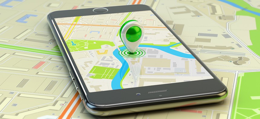
Vinci: The companies doing the most interesting geospatial [work] are actually in the ad tech space. Whether they’re in a mall and you're walking past a store, and that store wants to push an ad on their cellphone, whether it’s companies figuring out where’s the best place to put billboards by looking at anonymized cellphone traffic.
When people are using these technologies, they're not calling it "geo-int;" they probably a lot of times don't even call it geospatial, but in essence, that's what they're doing. They don’t even see NGA as part of the same network as them...[but] we can borrow those ideas, we can tap into that talent.
Our outposts are meant to make that translation happen. You need to physically be there. You need to have people who can ... meet those companies, meet those individual people, work with them.
It doesn't have to be, "You're part of a prime contractor and you're on the team with a prime contractor." Maybe you have a [Cooperative Research and Development Agreement] and you share R&D together.
Nextgov: Tell us more about why ad tech could be useful to NGA.
Vinci: With the mobile phone ... with the [GPS], you know where the phone is …[companies] are using that to understand where people are, or what they like, and then from there, essentially try to push ads to them.
We're interested in ... not so much the tracking part. What I find really interesting is the predictive analytics and understanding the relationship between objects, space and time. It's more of a concept—there are people working on these issues ... that we can potentially learn from.
Nextgov: What other areas are you exploring?
VInci: Human geography and surveying ... starting to think about not necessarily individual people, but thinking about groups of people and where they are and information about those groups so you can understand society and culture. It’s been things like doing surveys and social and political and economic surveys and using that information to understand local culture ... How does society change as weather changes and climate changes over time?
Nextgov: More broadly, what questions is NGA hoping to answer by investigating commercial tech?
Vinci: I think about two sets of questions. We provide foundational information products—we provide maps and resources around those maps ... [and] safety and aviation information for shipping and flight.
Within that area, any technology that helps to provide greater detail in maps or provide faster, more updated, more reliable information about safety and navigation using automated means to understand coastline change ... a lot of that technology is coming out of commercial industry. Machine learning, machine vision technology that’s developed by commercial mapping companies [can] be used internally to make our safety and navigation products better.
[The other] is more traditional intelligence questions. Attempting to understand what's happening in the world, what will happen and what additional insight can we gain about events so we can answer decision-makers' questions or warfighters' questions.