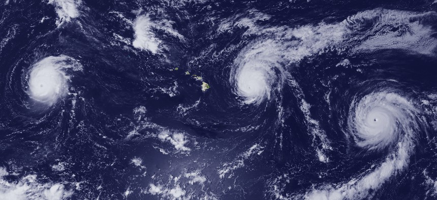
In this 2015 NOAA handout, three hurricanes churn in the Pacific Ocean in the vicinity of Hawaii. NOAA via Getty Images
Drones, maps, and storm-tracking in the Pacific
The National Oceanic and Atmospheric Administration is working with partner nations in the Indo-Pacific to map the region as part of the Biden administration’s push for security.

Drones are becoming more critical to mapping out ecosystems of the Pacific as the U.S. competition with China ramps up, Rear Adm. Chad Cary, the National Oceanic and Atmospheric Administration’s deputy director for operations said Monday.
“We are heavily leaning into uncrewed systems—a lot of that is in great partnership with our friends from Saildrone as well as other companies as well, like Liquid Robotics…really leaning into using that emerging technology and seeing some really exciting results as we continue to add more and more into that region” to fill data or observation gaps, Cary said during a panel on security in the Indo-Pacific region at the 2024 Sea Air Space conference. “We're all about the sciences, and in this region, we support fisheries, mapping and charting ecosystem oceanography. And we use those skills and tools not just for the United States, but also for our partners out there.”
Mapping involves several systems, including ship sonar systems and aircraft under the correct water, weather, and area conditions. The agency, which is typically known for its contribution to weather forecasting and works closely with the National Geospatial-Intelligence Agency, has been using drones to bolster its mapping capabilities.
“NOAA plays an active role in making sure that the charts are up to date, safe navigation can occur in the ports, and the territories in that region rely on us as well. So when we have assets in the area, which is not as often as we'd like, we can go in there and modernize their charts,” Cary told Defense One. And if a “country wants to work with us, like the Philippines, on how they should map and chart and understand their territory…we can work with them on what systems to use, how to design the studies, how to get the data on the charts, and process the data—all of those tools so that they can have the best possible information to help make their decisions.”
It’s a capability that can help countries in the region get a better understanding of their surrounding ecosystems—which can have economic, safety, and military benefits. For example, the agency is working with Palau to evaluate its coral reefs.
“They need to have that information, that data to be able to make good decisions for what they do with their valuable precious natural resources that are so much a way of their life in that region,” Cary said on the panel. “We can go in just a few days and we can map almost that entire country—because they're pretty small in a lot of those places—get their data on a chart and help them to make decisions that can really boost their economies, boost their safety, and help with their livelihood there. So there's a lot we can do with a short turnaround,” he said.
On the weather front, NOAA is also evaluating the impact of global warming on ecosystems in the region, with plans to add a climate component to upcoming wargames in the region.
“Tuna in this region is what oil is to the Middle East. And so it's really important that we know where the tuna are responding, how many are out there, how the catches are impacting that, [and] how the changing climate is affecting those ecosystems,” he said.
Mapping and tracking weather systems is also increasingly important, as threats and geopolitics in the region shift. NOAA’s hurricane hunter aircraft with Tail Doppler Radar can improve forecasts for intensity and the storm’s track by 20 percent each time it flies through, Cary said.
And as typhoons in the Pacific increase in frequency and severity, so will the need to ensure countries and U.S. counterparts in the region are ready.
“It's about sharing data, it's about getting the data, it's about making sure those products are available to the public so they can make the decisions they need to take actions in a timely manner and save lives,” Cary said.
About a quarter of the Pacific region is mapped, he said.
“We can help collect information that can make their ports more lucrative and they can make better resource decisions.”