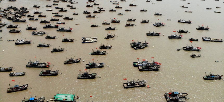
Fishing boats berthed at a fishing port two days before the three-month summer fishing moratorium in the Bohai Sea, the Yellow Sea, the East China Sea, and the waters north to 12 degrees north latitude of the South China Sea on April 29, 2021. Wang Chun / VCG via Getty Images


Can We Spot Illegal Fishing Fleets from Space?
The Defense Innovation Unit is offering prizes for using satellite-mounted radar to fight a growing national-security problem.

The Defense Department is hoping that space-based synthetic aperture radar, or SAR, could help the United States and allies keep track of illegal fishing all over the globe. Later this month, the Defense Innovation Unit will launch a $150,000 contest for solutions and tools that use satellite-based synthetic aperture radar to identify vessels that may be fishing illegally.
Illegal fishing is a national security problem, as one commenter argued a few months ago in Defense One. The stability of countries and regions are threatened by the declining health of fish stocks, and by the groups and governments that run lawless fishing fleets.
“The long-range fishing fleet that China has is one of the principal perpetrators of [illegal, unreported and unregulated] fishing, particularly in Africa where I focused on it,” Rear Adm. Heidi Berg said on Wednesday at the Navy League’s Sea Air Space conference. Berg, who was formerly the director of intelligence for U.S. Africa Command, is now U.S. Cyber Command director of plans and policy.
When Chinese fishing vessels operate in places like Africa’s eastern or western coasts, Chinese military ships often accompany them. China will also “engender corruption,” said Berg. “They continue to act to support authoritarian regimes that ensure their continued access” to waters where they work illegally. “This devastates the economies of these organizations, particularly when you look at western Africa.”
Berg pointed to the importance of coastal industries and fishing in the economies of western African nations. China deliberately targets places that are challenged by weak institutions, poor governance, poor rule of law, she said.
SAR data may be particularly well suited for what is a very big technical challenge. Unlike other space-based cameras, SAR can collect data at night and when there’s cloud cover. Unlike automatic identification system data, it can’t be spoofed (and does not rely on data provided by a ship you’re trying to keep tabs on).
But SAR data doesn’t easily lend itself to surveying the entire ocean for specific types of ships. “Labeled SAR datasets of the size and quality to build machine learning models that can identify and characterize vessels in ways that are useful for the IUU fishing… are very hard to come by,” Jared Dunnmon, the technical director of artificial intelligence at the Defense Innovation Unit, said Wednesday. “It takes a lot of domain expertise not only to pre-process the data and to understand how to work with SAR but also because the domain expertise needed to label it is not easy to come by. So that limits the ability of some of the best folks in the world from, say the computer vision community where I come from, to meaningfully contribute to that problem.”
Dunnmon says that the amount of space-based SAR data, similar to space-based camera imagery a few years ago, is also set to explode as the costs and barriers to launching satellites continue to fall.
“In the next couple of years we expect to see more and more space-based SAR data to the point where we can get rapid re-visit to most parts of the world. And that’s a game-changer,” he said. “If we cover that trend with automated algorithms that can rapidly analyze that data at scale to even just detect vessels much less characterize them” then not only could they better track illegal fishing but they might also be able to much better monitor the entire ocean in a way that was never before possible.